// SERVICES - REV 2.0 - 2026
Four ways we look at your assets
Visual, confined-space, 3D and thermal. Every flight ends in a deliverable you can act on - a report, a data set, a model. Just let us know what you need.
Visual, confined-space, 3D and thermal. Every flight ends in a deliverable you can act on - a report, a data set, a model. Just let us know what you need.
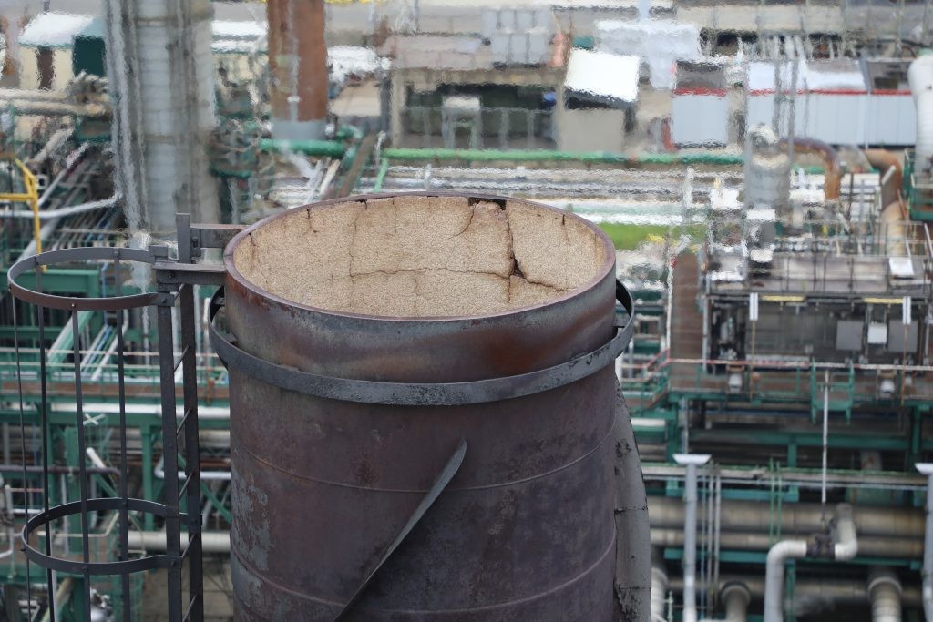
Chimneys, flares, roofs, cranes, pylons and structures at height. High-resolution imagery of every weld, bolt and refractory joint - while the installation keeps running.
Drones won't replace a pair of hands and eyes just yet. But they sure are a great first reflex: know exactly where to apply traditional techniques, build your scaffolding or send the rope access team.
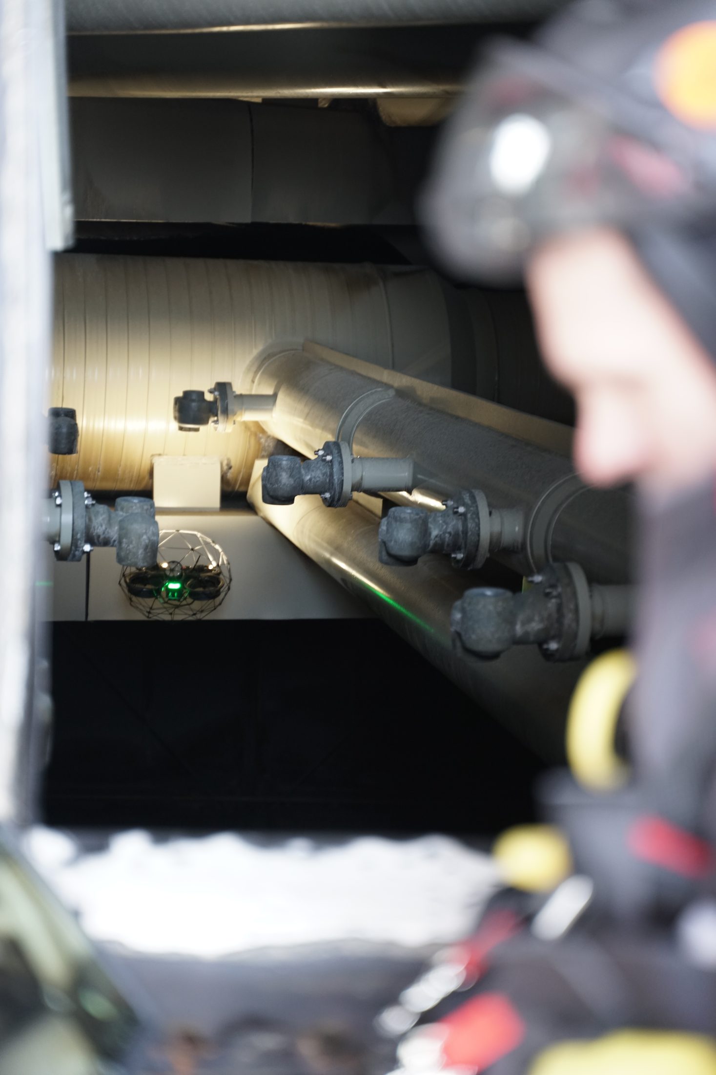
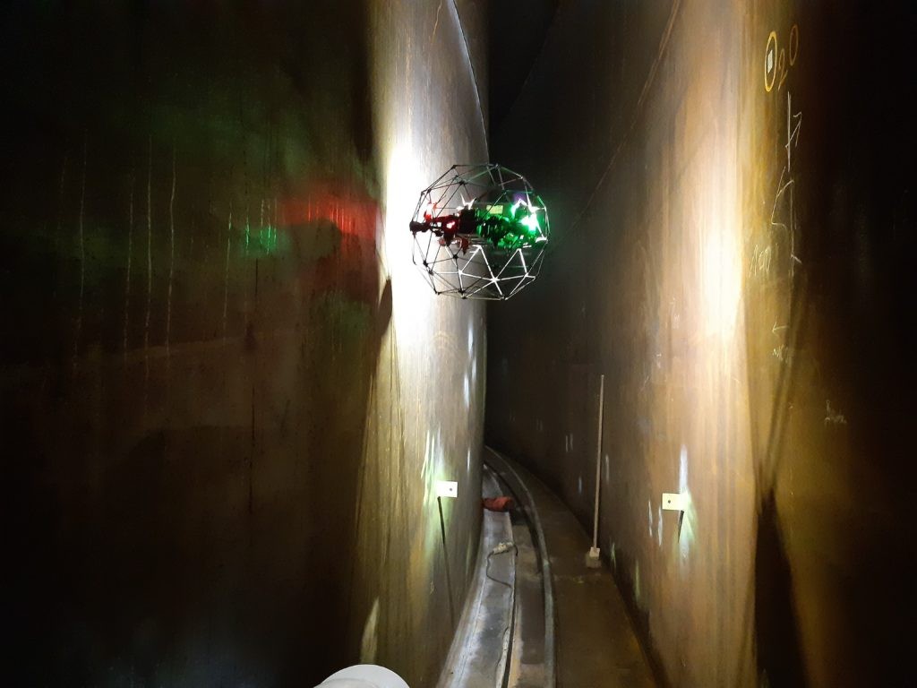
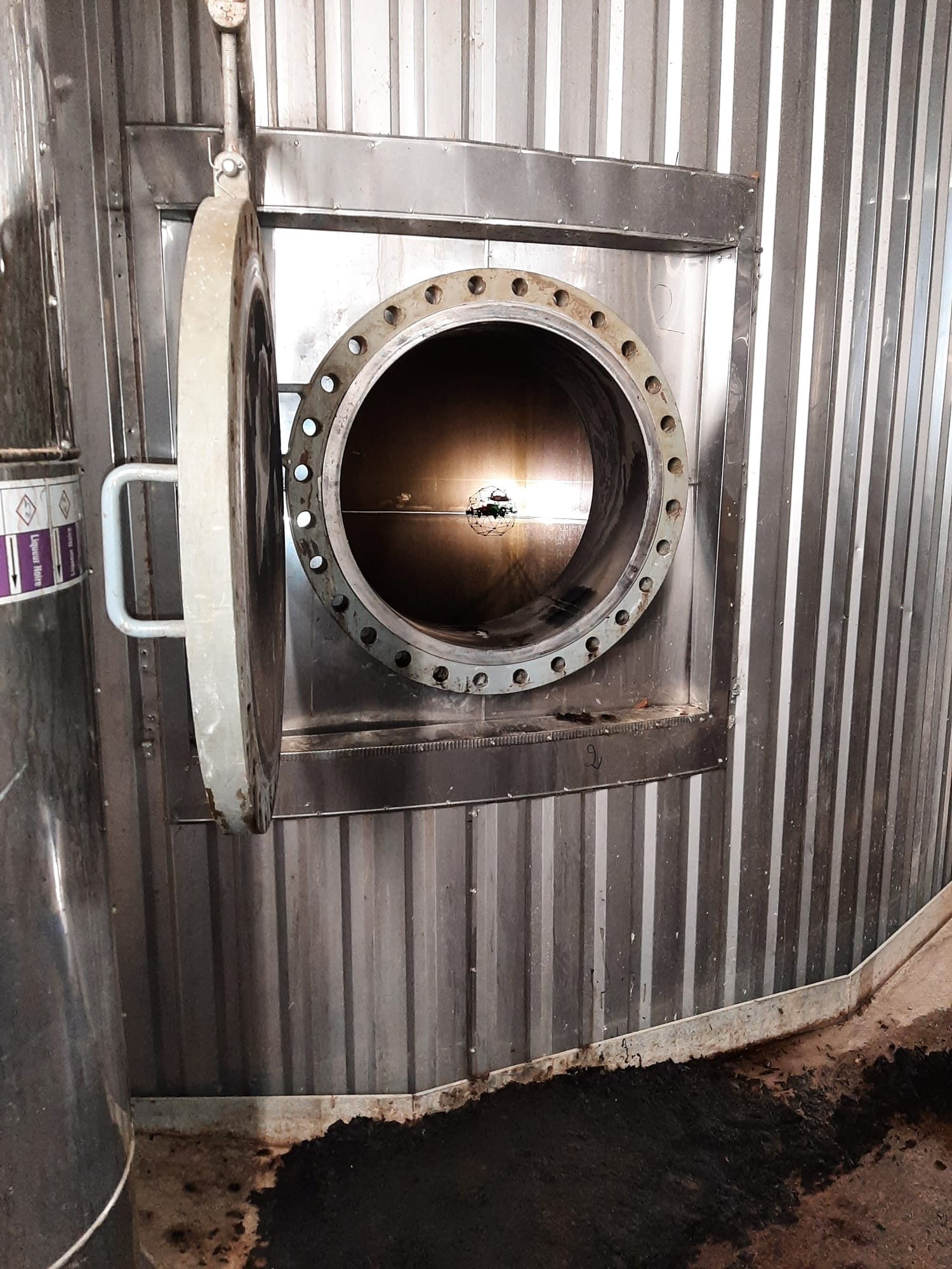
Tanks, silos, ducts, chimneys, reactors. The drone goes in, people stay out. We offer full visual inspection, UT measurements, and LIDAR point cloud generation of all indoor assets.
No scaffolding, no rope access, no man entry. With an LEL detector on board we can fly spaces that aren't cleared for human entry yet, so inspection starts hours after shutdown instead of days.
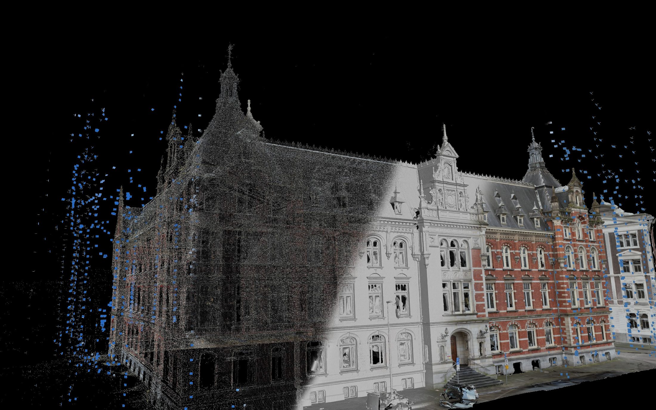
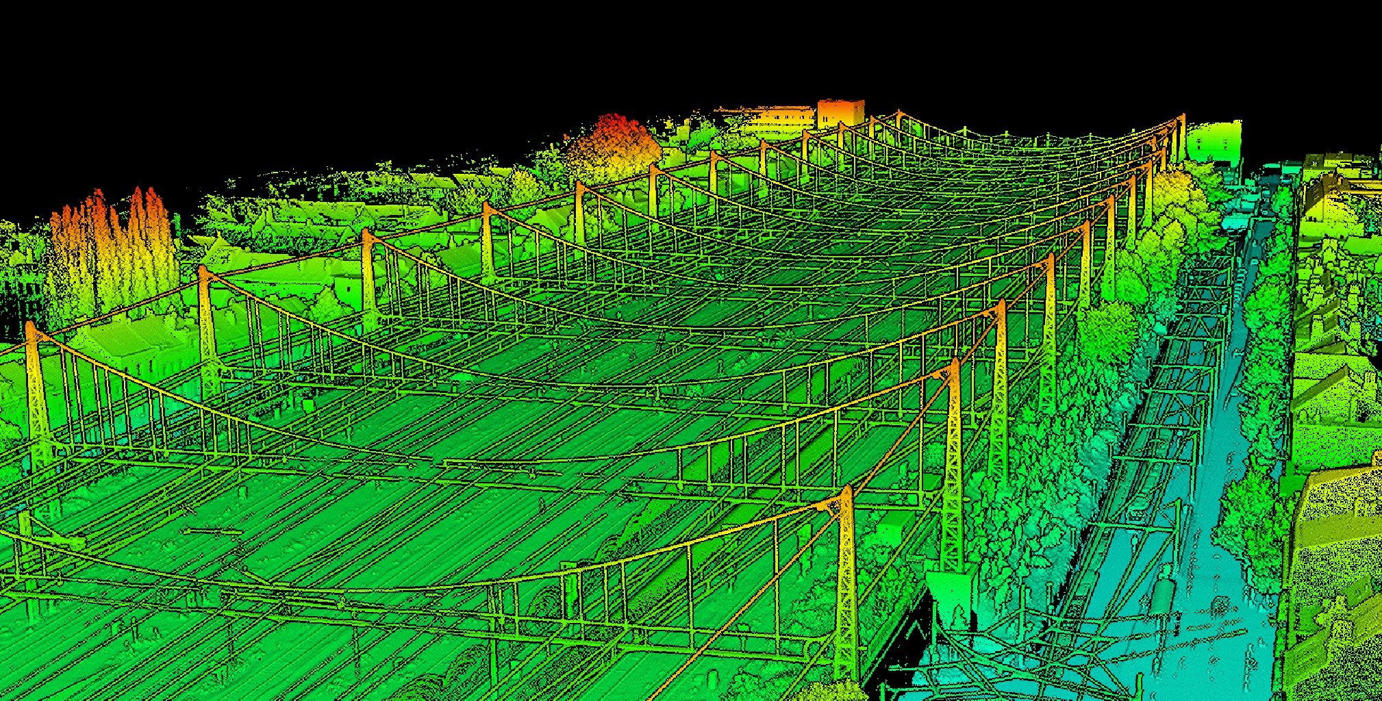
Georeferenced 3D models from laser scanning and photogrammetry. Orthophotos and volume calculations of sites, structures and stockpiles. Deliverables you can measure, section and drop straight into your CAD.
A single flight replaces a full day of walking the terrain with a total station. With these models we can make calculations according to your need: measure deformities, make out of roundness analyses, verticality of your assets, calculate volumes,...
All of this delivered in a clear report.
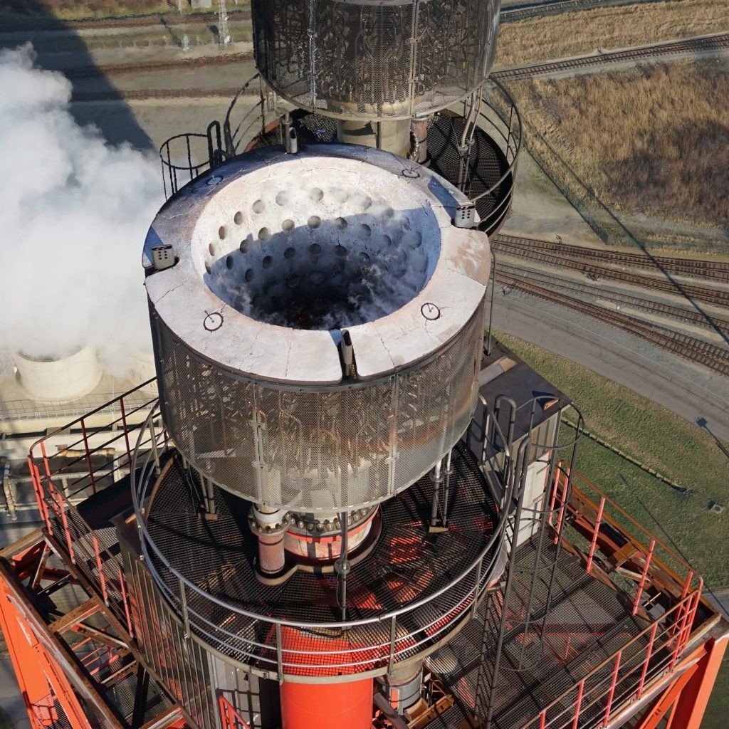
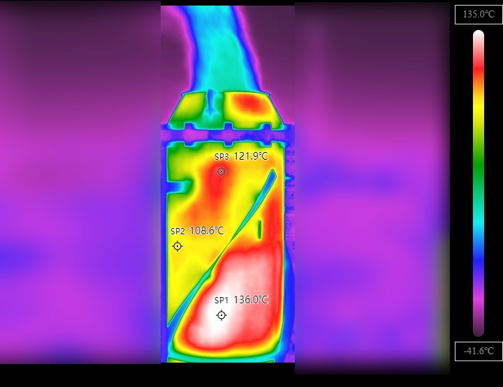
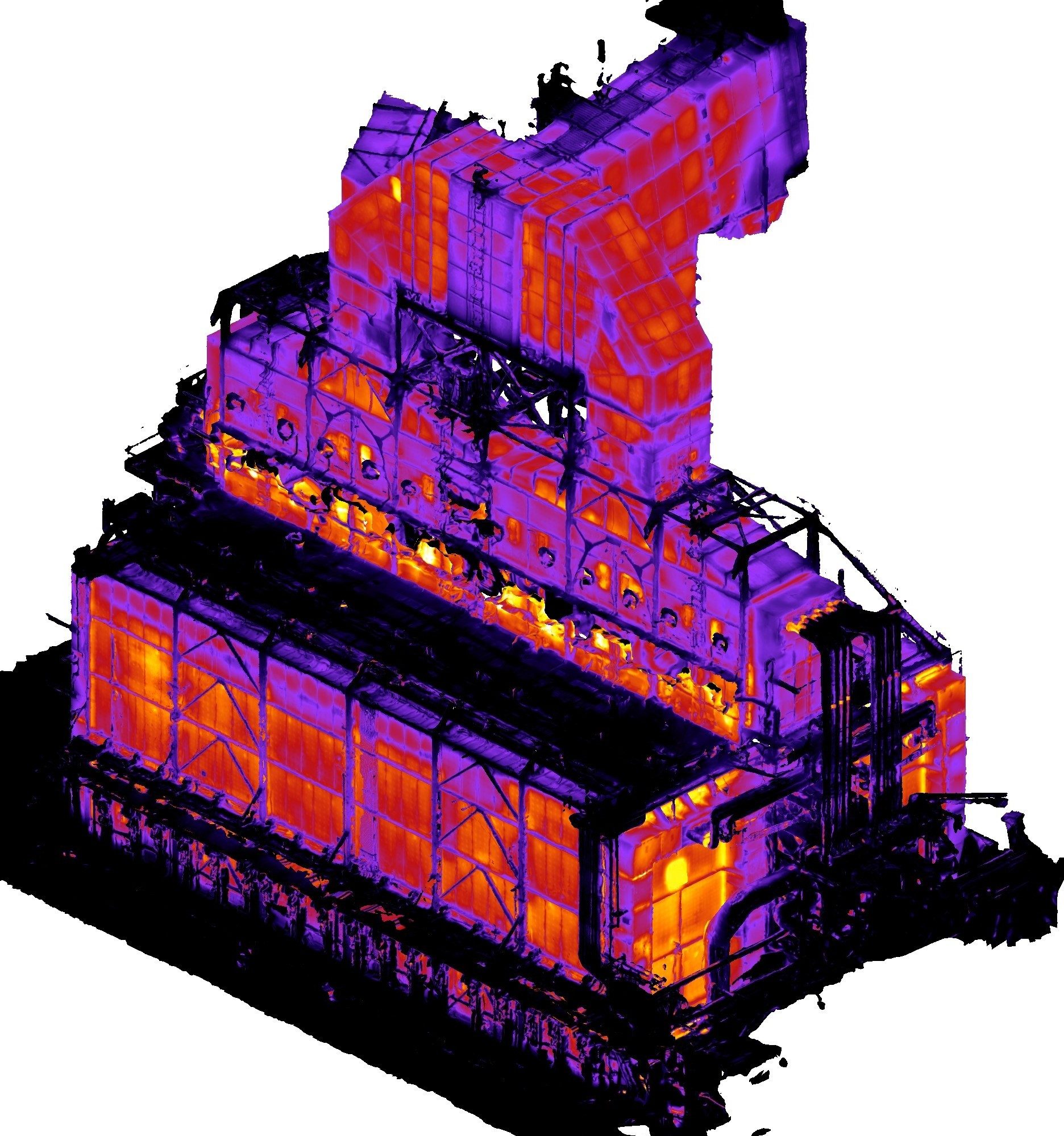
Radiometric surveys of refractory linings, flare tips, buildings and roofs. Not a pretty rainbow picture, but trust worthy data.
We fly while the installation keeps running. Hot spots, cold bridges, wet insulation and refractory wear show up long before they become a shutdown.